Grab Your Umbrellas: A Soggy Thursday Before the Deep Freeze Hits
Damp Start to the Workday
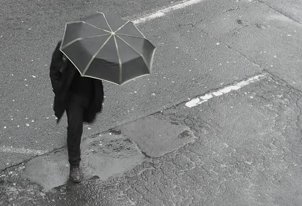
Today, Thursday, January 22, 2026, Atlanta residents are waking up to a gray and damp morning as the city prepares for a significant shift in weather patterns. While the immediate concern for commuters is a soggy morning drive, local meteorologists and the FOX 5 Storm Team are keeping a close eye on a major winter system gathering strength for the coming weekend. The morning hours are starting out with scattered showers and temperatures hovering in the upper 30s to low 40s, making for a raw and chilly start to the day.
Afternoon Outlook and Daily Temperatures
As we move into the afternoon, the clouds will remain thick and the atmosphere will stay saturated. The mercury is expected to climb into the low 50s, providing a brief period of relatively milder air compared to the arctic conditions expected later this week. Humidity levels are predicted to remain high, sitting between 78% and 84%, which will keep the air feeling heavy and damp even when the rain pauses.
The specific hourly breakdown for today’s conditions includes:
- Morning: Overcast with scattered rain showers and temperatures between 39°F and 43°F.
- Afternoon: Persistent cloudy skies with a high reaching approximately 52°F and a 45% chance of light rain.
- Evening: Temperatures will dip back toward 42°F under overcast skies, with light showers potentially continuing into the overnight hours.
Winter Storm Watch: A Major Ice Threat Looms
The most critical news for Atlantans today is not the rain falling now, but the severe weather alerts issued for the coming days. A Winter Storm Watch has been officially activated for North Georgia, including the metro Atlanta area, effective from late Friday night through Monday. Forecasters are warning of a potentially "crippling" and "destructive" ice storm. This high-impact event is being driven by a "battle of the jets," where a surge of moisture from the Gulf is meeting an aggressive Arctic blast of cold air.
While today brings only about a quarter-inch of rain, the weekend forecast predicts significant ice accumulations that could lead to widespread power outages and impossible travel conditions. Residents are urged to use today’s wet but manageable weather to finalize emergency preparations, check on elderly neighbors, and ensure they have adequate supplies before the wintry mix arrives late Friday night.